Aerial drone view of luxury residential community in Puerto Rico

FAA Licensed · Puerto Rico

See Your Property From Above

Professional drone photography and video for real estate, project monitoring, and more across Puerto Rico.

What We Offer

Our Services

Placeholder

PLACEHOLDER — Aerial shot looking straight down at rooftop/pool

Real Estate Photography

MLS-ready aerial photos that make listings stand out

Aerial Video

Cinematic drone video for promotional and social media use

3D Aerial & Mapping

360° aerial photos and property boundary mapping

Aerial inspection view of industrial facility and surrounding site from above

Site Inspections

Detailed aerial site assessments for developers and engineers

Request a Quote
Aerial drone view of active construction site with equipment and structural progress

Project Monitoring

Regular aerial checkups to track construction and development progress

Request a Quote
Aerial drone photo of luxury residential property perfect for social media real estate content

Social Media Content

Ready-to-post reels and content packages for real estate agents

Packages

Real Estate Packages

Full Aerial Coverage

$125

  • 10 MLS-ready exterior photos
  • 30–60 sec promotional video
  • 24–72 hr fast delivery
Book This Package
Most Popular

Social Listing Bundle

$200

  • 15 MLS-ready exterior photos
  • Boundary + Landmarks labeling
  • 30–60 sec promotional or cinematic video
  • 24–48 hr fast delivery
Book This Package

Express Creator Bundle

$250

  • 25 MLS-ready exterior photos
  • Boundary + Landmarks labeling
  • 30–60 sec promotional or cinematic video
  • 3D Aerial photo
  • 1 min unedited aerial footage
  • 24 hr fast delivery
Book This Package

Add-Ons

Same-day delivery+$50
3D Aerial photo+$30
AI powered exterior renovation+$20
Raw aerial footage+$30/min
Property labeling+$20
Ready-to-Post Reel+$30
Gallery

Our Work

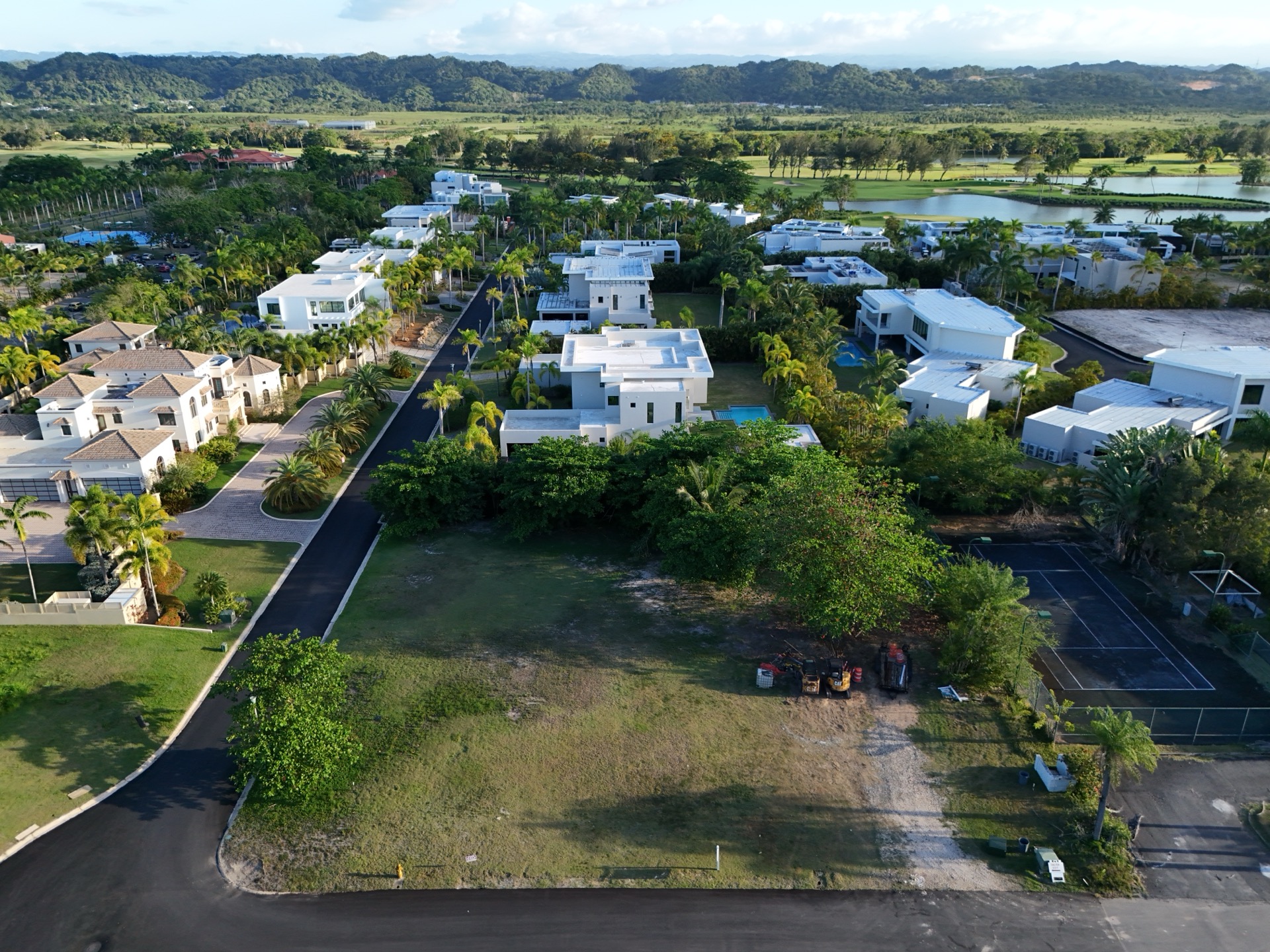
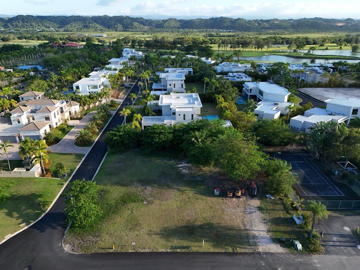
Aerial view of luxury residential development with modern homes and palm trees in Puerto Rico
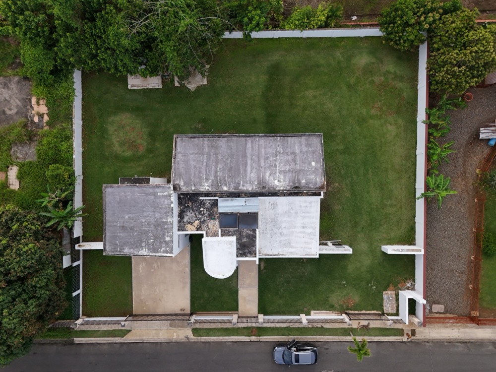
Straight-down aerial top view of residential property rooftop and surrounding green lawn in Hatillo, Puerto Rico
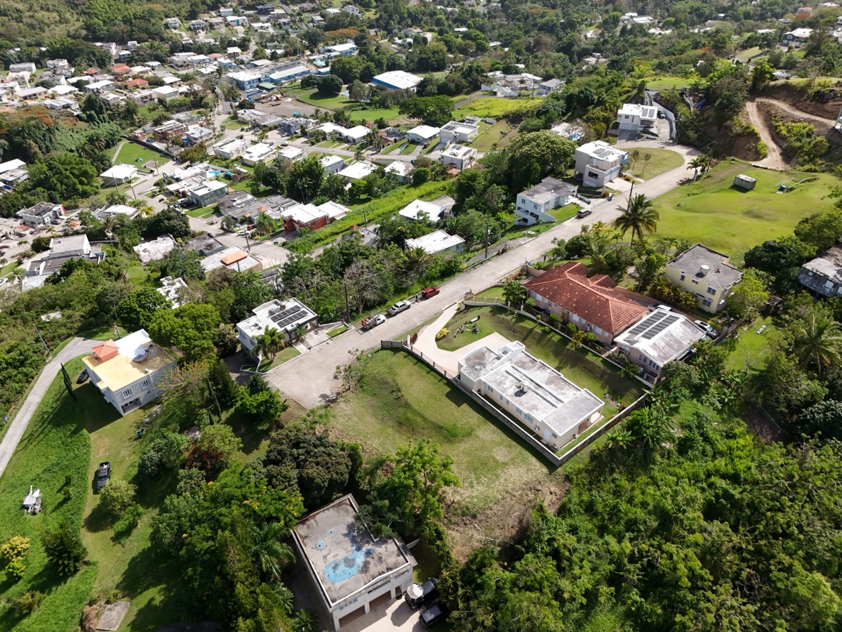
Angled aerial drone view of Hatillo neighborhood with houses, streets and lush greenery in Puerto Rico
Interactive 360° aerial panorama over a commercial plaza and the green hills of Puerto Rico360°
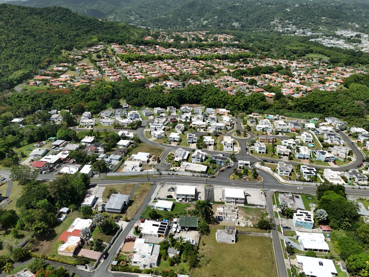
Wide aerial overview of Puerto Rico neighborhood showing streets and homes nestled in green hills
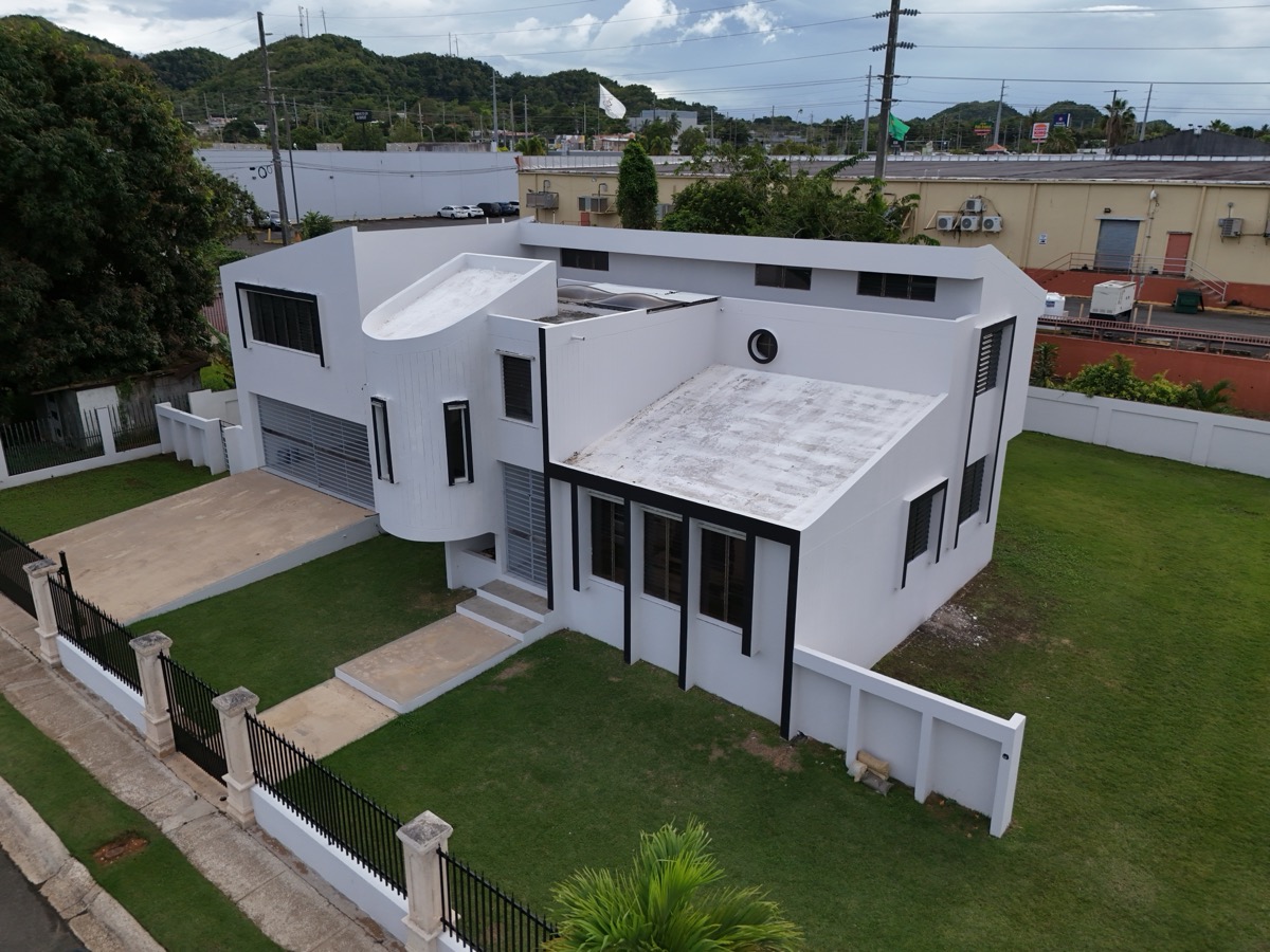
Low-angle drone shot of modern white residential property facade with manicured lawn in Hatillo, Puerto Rico

Get Started

Book a Session

FAQ

Frequently Asked Questions

Yes! We serve all 78 municipalities of Puerto Rico. Whether you're in San Juan, Ponce, Mayagüez, or anywhere in between, we'll bring our drone to you. Travel fees may apply for remote areas.

Absolutely. All our drone operators hold FAA Part 107 remote pilot certificates, ensuring every flight is fully compliant with federal aviation regulations. We're also insured for commercial operations.

Safety always comes first. If conditions are unsuitable (high winds, rain, poor visibility), we reschedule at no charge. We monitor forecasts closely and will reach out ahead of time to coordinate.

All deliverables are sent via a private cloud download link within 24–72 hours depending on your package. You'll receive full-resolution files ready for MLS upload, social media, or print.

We recommend booking 3–5 days ahead to secure your preferred slot, especially on weekends. For same-week availability, message us via WhatsApp and we'll do our best.

Definitely. If none of our standard packages fit your project, we'll build a custom proposal. Contact us with your property details and we'll send a tailored quote within 24 hours.